

The River Forecast Centre has issued a flood watch for Northern Vancouver Island and the Sunshine Coast.
According to a media release, localized high flows are expected due to heavy rainfalls and rain-on-snow melt runoffs throughout the coastal region, with peak river levels expected to rise today and tomorrow.
Flows are expected to hit record highs and may have significant effects on infrastructure.
“Flows may reach or exceed five-to-10-year flows in areas under flood watch, and two-to-five-year flows in other areas,” said the release. “Expected impacts include the potential for road washouts, localized flooding, overbank flows, swift water hazards and landslides.”
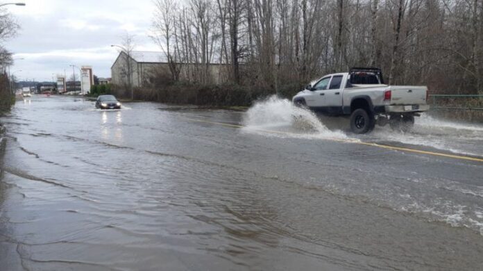
Environment and Climate Change Canada are advising everyone to stay away from riverbanks, and not to drive through flooded roads or washouts.
The River Forecast Centre will continue to monitor the situation, and travelers are asked to monitor DriveBC.ca for any closures.
The watch is in effect for Northern Vancouver Island, Western Vancouver Island, Sunshine Coast, Howe Sound, and the North Shore Mountains.